The Crazyflie® 2.x (as most other quadcopters and robots) has no real notion of its position in space. The on board sensors (accelerometers and gyros) can be used to give a rough idea of its movements but lacks the accuracy for long term position awareness. The solution is to use an external system that can provide information of the current position.
Lighthouse positioning System
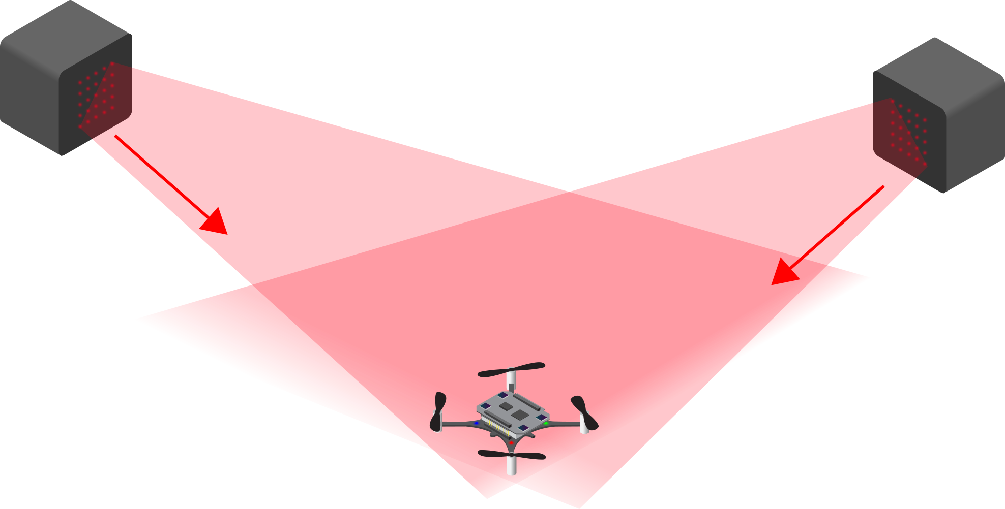
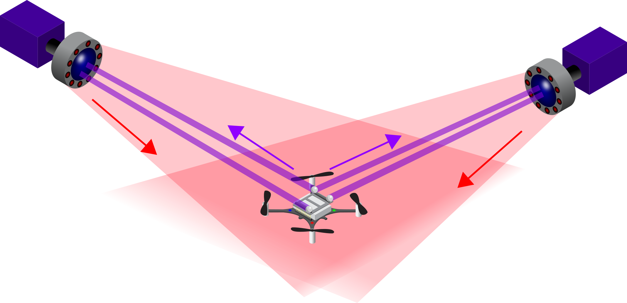
The lighthouse positioning system is our latest method of positioning on the Crazyflie 2.x. The Lighthouse base stations are used here, and they emit infrared laser scans that are detected by our Lighthouse positioning deck . This enables the crazyflie to (like with the Loco Positioning System) calculate its own position on board.
Loco Positioning System
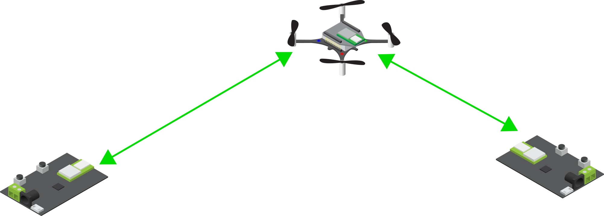
The crazyflie can detect its position by means of our Loco Positioning System. Here we use UWB modules (Decawave’s DWM1000), which can measure the distance between each other. With the ranges of at least 4, but rather 8, Loco Positioning node, and a Loco Positioning deck , the crazyflie can calculate its own position onboard. Our Roadrunner is a stand-alone tag which can also work with our Loco Positioning System system, if you require another platform than the Crazyflie.
Motion Capture Positioning
The Crazyflie can be positioned using reflective markers and infrared motion capture cameras. We use Qualysis in our own office but researchers and hobbiest have used the Crazyflie with MCS cameras of Vicon and Optitrack as well. The main principle of using the MCS for positioning is that the cameras emit infrared light, which are reflected back by special reflective markers. This will enable the IR-cameras to detect the location of the marker, which the MPC software on an external computer will calculate the actual position from. This information can then send to the Crazyflie through the Crazyradio 2.0 / Crazyradio PA. Also, check out our Motion capture marker deck .
The table below compares these three positioning systems, highlighting their differences and similarities. This side-by-side comparison provides a clear overview to help you quickly assess which system best suits your needs.
| Loco Positioning system | Lighthouse Positioning system | Motion Capture | |
|---|---|---|---|
| Area max covered | 50mx50m (not tested) | 5x5x5 | Unlimited |
| Accuracy | cm | mm | mm |
| Environment requirements | Line of sight preferred for better accuracy | Line of sight No glass or mirrors |
Line of sight |
| Scalability | Good | To 4 base stations | Good |
| Ease of setup | Medium | Easy | Difficult |
| Positioning | On Board | On Board | Off board |
| Cost | $$ | $ | $$$ |