Our Ultra Wide Band (UWB) based positioning system, the Loco Positioning System, has been around for a long time and is still going strong! In this post we will tell you a bit about how it works (for those that don’t know about it yet), what research that is on-going in the field and new developments.
Basics
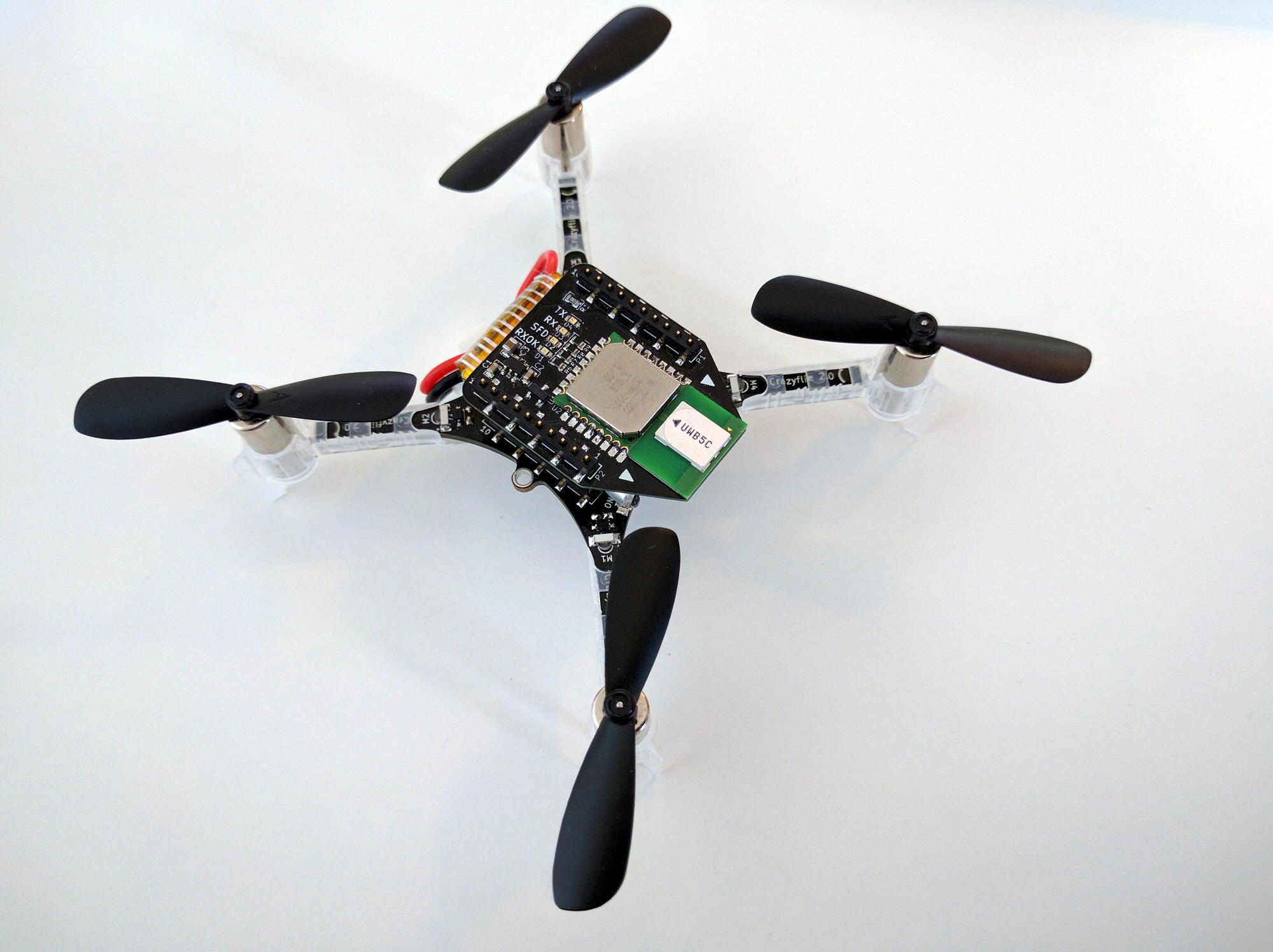
UWB is using high frequency, low power, wide band radio where one of the most important properties is that it is possible to detect when a packet is received with very high accuracy. Combining this with very high frequency clocks, opens up the possibility to measure the time it takes for a radio packet to travel from a transmitter to a receiver. Since radio waves propagates with the speed of light in air we can convert the time into distance, and this is the basic idea in UWB positioning.
Not only is it possible to measure the timing of transmissions, the packets can also contain data, like in other radio standards. This property is extensively used to include time stamps of when a packet is sent, and also for instance the time stamp of when the transmitter received other packets or the position of an anchor.
This sounds pretty straight forward, but there are (of course) some complications. We will mention some of them but not go into the details.
- Reflections – radio waves bounce around on walls and objects. Luckily, the nature of UWB actually uses this to its advantage and works better indoors than out side.
- The clocks in the transmitter and receiver are not synchronized – the Time Of Flight can unfortunately not simply be measured by subtracting reception time from transmission time as the time stamps originate from two different clocks. The problem can be solved by sending some more packets back and forth though.
- Packet collisions – two transmitters can not send at the same time, one or both packets will be lost. Transmissions must be scheduled or packet loss must be handled.
- Obstacles – obstacles between the transmitter and receiver changes the transmission time.
- Antennas – the propagation time through the antenna is substantial and changes depending on the angle to the transmitter/receiver.
- Radio interference – other radio sources may interfere with the UWB radio signals and add noise or packet loss.
Modes
The Loco Positioning System can run in two fundamentally different modes: Two Way Ranging (TWR) and Time Difference of Arrival (TDoA).
Two Way Ranging (TWR)
In TWR the Crazyflie measures the distance to one anchor at a time, over and over again. Each measurement in initiated by the Crazyflie and requires 4 messages to be sent between the Crazyflie and the anchor, two request-response pairs. The position is estimated by pushing the measured distances into the kalman estimator.
This mode only supports one Crazyflie, but has the advantage of being very robust and also works pretty well some distance outside the system.
Time Difference of Arrival (TDoA)
In TDoA the setup is different, the anchors are transmitting packets while the Crazyflie is passively listening to the traffic. From the received information it is unfortunately not possible to measure the distance to the anchors, but what we can get is the difference in distance to two anchors. For example, we might know that we are 0.54 meters closer to anchor 3 than anchor 6, or similar. It is possible to calculate the position from this information and similarly to TWR the measurements are pushed to the kalman estimator for further processing.
This mode supports unlimited numbers of Crazyflies (swarms) but is less robust compared to TWR, especially outside the system. TDoA is similar to how GPS works.
Research
There are many researchers that use the Loco System, some use it as a positioning system and investigate topics like path planning or similar, while some others are looking at different questions related to the UWB positioning itself. We will not try to mention everyone, we probably only know of a small fraction of what is going on (please tell us!), but would like to point out two areas of research.
The first is related to improving the estimated position by handling measurement errors and the environment in a better way. Examples of this is to compensate for differences in reception angle or handling of obstacles in the space. We would like to mention Wenda Zhao’s work at the Dynamic Systems Lab, University of Toronto. He has contributed the robust TDoA implementation in the kalman estimator (blog post) as well as a public TDoA data set.
The second is inter drone ranging, that is measuring the distance between drones as an addition to, or instead of drone-to-anchor measurements. Examples in this are are the work by Dr Feng Shan at School of Computer Science and Engineering Southeast University, China (blog post) and professor Klaus Kefferpütz, Hochschule Augsburg, work on “Crazyflie quadcopter in decentralized swarming” as presented on the BAM days last year.
Experimental functionality
Even though there has not been a lot of code committed lately in our repositories related to the Loco Positioning System, it has been simmering in the background. We would like to mention what is cooking in the pots and some of the stuff that has been discussed or tested.
System size
An 8 anchor Loco Positioning System can cover a flight space of around 8×8 meters, but from time to time we get the question of larger systems. TDoA3 was designed with this in mind and supports up to 255 anchors, which in theory would make it possible to build larger systems. This functionality was implemented 4 years ago but we never really tested it(!). Finally we collected all anchors in the lab an set up 20 anchors in the same system, and it worked! This should make it possible to extend systems to at least 15×15 meters, but maybe even more with some clever radio cell planing.
Another possibility to enlarge a system is to tweak the radio settings to make them reach longer. There is a “Longer range” mode in TDoA3 that lowers the bit rate, but again it has not really been verified. This was also tested in the latest Loco frenzy and with some minor modifications it worked the way we hoped, with 20 anchors! The tests mainly verified that the anchors play nicely together, and we are not sure about the maximum range (to be tested) but we believe distances of up to 40 meters between anchors is possible. To use this feature you should make sure to use the latest firmware for the Loco Nodes as well as the Crazyflie.
The two features mentioned above should hopefully make it possible to go big and we hope it could be used for shows for instance.
TDoA3 hybrid mode
If one looks at the messages sent in a TDoA system, the anchors are actually doing TWR with each other, while the Crazyflie(s) are just listening to the traffic and that the possibility to extract the position is a nice “side effect”. Now imagine if the Crazyflies were to send some messages from time to time, then they could act as “dynamic” anchors, or do inter-drone ranging with each other. This is something we call TDoA3 hybrid mode.
Currently there is no official implementation of the Hybrid mode, only some experimental hacks. Some researchers have done their own implementations, but we hope, at some point, to generalize the functionality and integrate it into the firmware.
Read more
If you are interested to read more about positioning and the Loco system, you can take a look at the following link list.
- Positioning systems overview
- The Loco positioning node, protocols and principles
- Blog posts about the Loco positioning System
- The Loco Deck and Loco Node
Summer time!
Summer is coming and with that vacations, yeay! There will always be someone at the office to help you if you need help, and we will handle shipping through out the summer, but it might take a bit longer than usual.
We hope you all have some great summer months!
Hi!
When crazyflie flies a circle in the uwb positioning system, will it use the trajectory algorithm in the firmware?
Thanks!
Hi,
it can be done in multiple ways, and using the high level commander (trajectory algorithm) in the firmware is one way to do it. The benefit of this approach is that it minimizes communication.
Another way is to continuously send set points via radio to the Crazyflie. This solution moves the logic of creating the trajectory to the ground and also makes it easier to update the trajectory in real time.
By the way, the management of set points/trajectories is not related to which positioning system that is used (Loco in this case), and is the same for all systems.
In the tutorials of getting started with the LPS,when I Click the button “Get from anchors”, i can’t get the positions with the values currently stored in the anchors,what’s the reason?
As mentioned before in another blogpost reply please post your question on https://discussions.bitcraze.io/